[Dar] Assessment of Availability of Open Transit Data
To ensure that by 2030 Dar and other African cities are able to provide access to safe, affordable, accessible and sustainable transport systems for all, improving road safety, notably by expanding public transport, with special attention to the needs of those in vulnerable situations, women, children, persons with disabilities and older persons, they need to start investing in generation of open transit data
In October 2022, Tanzania Railway Corporation (TRC) participated in the 11th conference and exhibition of Railway Organizations in the SADC Zone which was held in Johannesburg. This conference focused on Innovation in the change of Railway Operating Technologies. This was an important discussion because compared to how technology influences every sphere of our lives nowadays, technological innovation is as equally important as the construction of the infrastructure themselves.
At the meeting Mrs. Amen who represented TRC said ‘Through SGR, compared to other countries in this region, we seem to be further ahead with the construction of this modern infrastructure that will help a lot in reducing travel time and efficiency in operation’. I agree with Mrs. Amen that good infrastructure is a major step to help improve the operational efficiency of the railway system. However, these improvements focus on the railway system and neglects user experience since these transportation agencies/authorities do not provide open transit data.
Transit data is usually distributed in a format called The General Transit Feed Specification (GTFS), also known as GTFS static or static transit to differentiate it from the GTFS realtime extension. GTFS defines a common format for public transportation schedules and associated geographic information. GTFS "feeds" let public transit agencies publish their transit data and developers write applications that consume that data in an interoperable way.
Lack of open transit data doesn’t only end with the railway industry. The same applies to all other modes of public transport in Dar: mini-buses (daladala), tuktuk (bajaji), the Kigamboni ferry and BRT. Even though compared to any other East African country, Tanzania has been the first to introduce not only SGR but also the BRT system, unlike Kenya there is currently not a single publicly available GTFS data for any of its cities.
Even though BRT and SGR are among the modern means of transport and they were used as case studies for other countries to implement their own, the user experience isn’t so modern. For example, BRT passengers have no way of knowing when the next bus is coming or if there is any service disruption. The lack of this type of transit data makes it hard for riders to plan their journeys properly. As a result, they may opt for other available means of transportation such as private cars or ride hailing. This not only causes reduced ridership but also defeats the purpose of the BRT system which is introducing sustainable and reliable transport in urban areas in alignment with SDG 11.2.
Fig 1: A map from transitfeeds.com which shows cities in the world with publicly available public transit data. In East Africa, only Nairobi has the open transit feed in GTFS format.
Several attempts have made to solve the availability of Transit data as explained below:
The Dar City Navigator app by Dar Rapid Transport (DART)
Advantages
- Allows journey planning where by riders can input start and end point and then show them nearby BRT stations
- Allows purchasing of tickets within the app
- It has a list of stops, routes and stations
- It sends service disruption notifications
Disadvantages
- The app doesn't include other modes of transport and provides BRT as the only mode of transport
- Walking directions are only shown as straight lines without step by step directions
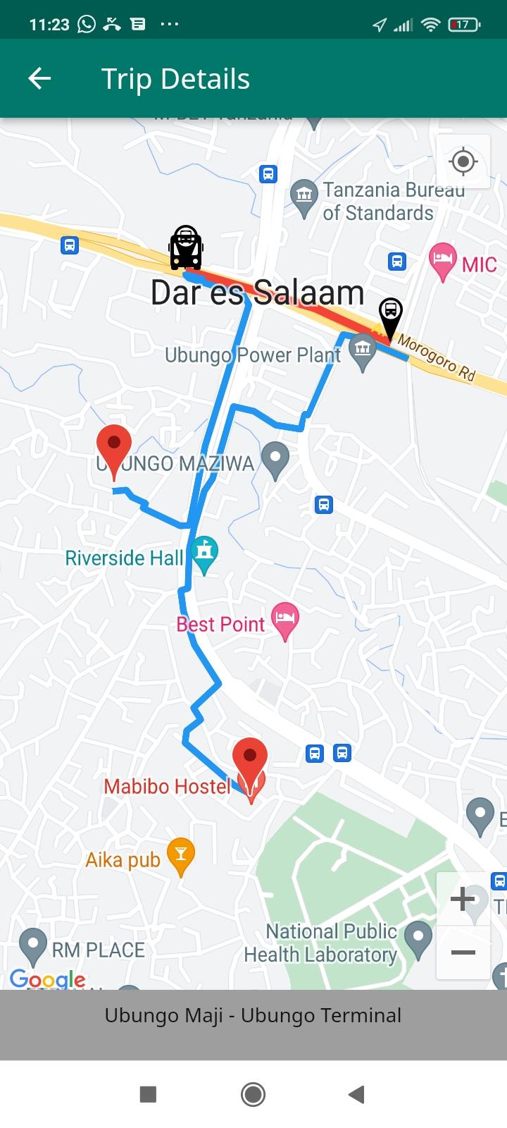
- No travel optimization. Even if walking is the optimal travel option, it ‘forces’ using BRT by finding nearest boarding and alighting BRT stations as show on Figure 2.
-
- No bank payments. Payments can only be done using mobile money therefore foreigners who do not have e-wallets registered in Tanzania cannot purchase tickets in the app
- Reselling of tickets from other journey planning platform is not possible
- The stops, routes and stations lists are neither up-to-date nor complete. For example, it does not have most feeder routes such as Mwenge - Gerezani
- The service disruption notifications are not up-to-date. For example, there is currently only one which was sent in 2020.
- It lacks day-to-day service disruptions which are more useful for journey planning such as trip delay, reduced bus frequencies or change of operating times
- Data is not available in GTFS format therefore it is not interpolable and easily consumed by other platform
Ally and the Worldbank Mapping of Dar Transportation in 2016
This was the first major attempt to map all public routes in Dar es Salaam. The World Bank also gives a more detailed report about this mapping project and the assessment of open data in Dar es Salaam in general on the Digital Data for Transport in Dar es Salaam.
Advantages
- They mapped 197 daladala routes, 2 BRT routes and 1 ferry route.
- Generated GTFS
Disadvantage
- The network is no up-to-date. For example BRT routes have increased from 2 which were initially mapped to 12. Also several daladala routes were changed or introduced recently and Dar has currently 200+ daladala routes.
- The GTFS is not publicly available. Even though it says it is available upon request from Ally the data was not shared by the time of writing this report despite sending several requests.
- The mapping was a one-time task. The transit network in Dar es Salaam seems to change a lot as seen from this list of new daladala routes in June 2022 from LATRA hence it requires regular data maintanance.
Other Mobility Data Provider
Several private companies have also attempted to map the Dar transportation network. A list of these companies may be provided upon request.
Advantage
- Some of them have a complete dataset of the transport network in the city for all modes of transport in the city
- They have technology which is efficient and flexible to collect and process the data depending on the market requirements.
Disadvantage
- The data is not available for free.
- Mapping and maintaining this dataset is costly for these entities
- Due to expenses and limited team size, it is not likely for them to cope with the dynamics of the transportation networks.
To ensure that by 2030 Dar and other African cities are able to provide access to safe, affordable, accessible and sustainable transport systems for all, improving road safety, notably by expanding public transport, with special attention to the needs of those in vulnerable situations, women, children, persons with disabilities and older persons, they need to start investing in generation of open transit data.
According to uitp.org implementing open data policy should generate benefits such as:
- providing a broader set of mobility tools to customers – assuming a vibrant ecosystem of developers chooses to access the data;
- stimulating new products and ideas for transport services from other businesses as well as academia;
- generating transparency in the provision of transport services and in the long term better policy making. This impacts internal and external activity;
- creating the wider impression that the city is welcoming to new entrepreneurial thinking and thus, encouraging new businesses to base themselves and grow in the local area;
- encouraging entrepreneurial talent to want to work for the city authority in order to deliver this and other forward thinking digital programmes.
However, as mentioned above, generating these data is costly and time consuming therefore transportation agencies may not give it a high priority. Instead of relying on these agencies to generate the data it will be more efficient if the general public and institutions who benefit directly from these data to be mobilized, map our city and generate these GTFS data by crowdsourcing the data collection and processing. The requirements below are important for this to be possible:
- Have tools with simple interface for anyone to
- Access and use for free
- Map the routes
- Enter operating hours and frequencies of these modes of transport
- See their data in action for example improving a journey planner
- Generate GTFS data on a go, export and be able to do further analysis on any other tools like TransitViz : Transit Data Visualization which is a handy tool for visualizing GTFS data.
- Have a data collection planning tool which organizations can use to assign data collectors to stations and routes which requires mapping or surveying.
I am currently working on a prototype of this tool and hope to release it soon. Anyone who is interested as a collaborative developer or tester is welcome to contact me. I have allocated time for this project and believe that it will be successful because for the rest of the year I have decided to only code for community good with a focus on helping African cities to achieve SDG 11.2.